
XXX 185th Avenue, New Ulm, MN 56073
$273,210


Property Type:
Land
Lot Size (sq. ft.):
1,700,147
Status:
Closed
Current Price:
$273,210
List Date:
5/02/2023
Last Modified:
6/03/2025
Overview
Description
Listing Details MLS# 6363893
General Property Information
- Comp Sale YN
- No
- Is Buyers Premium
- No
- Lot Measurement
- Acres
- Multiple PIDs?
- No
- Plat Recorded
- No
- Yearly/Seasonal
- Yearly
- Zoning
- Agriculture
- Acres
- 39.03
- Lot Size SqFt
- 1700146.8
- Assessment Pending
- No
- Association Fee
- 0
Property Features
Available Utilities:
None Connected
Development Status:
Raw Land
Improvements:
None
Land Inclusions:
Survey
Special Listing Conditions:
Auction
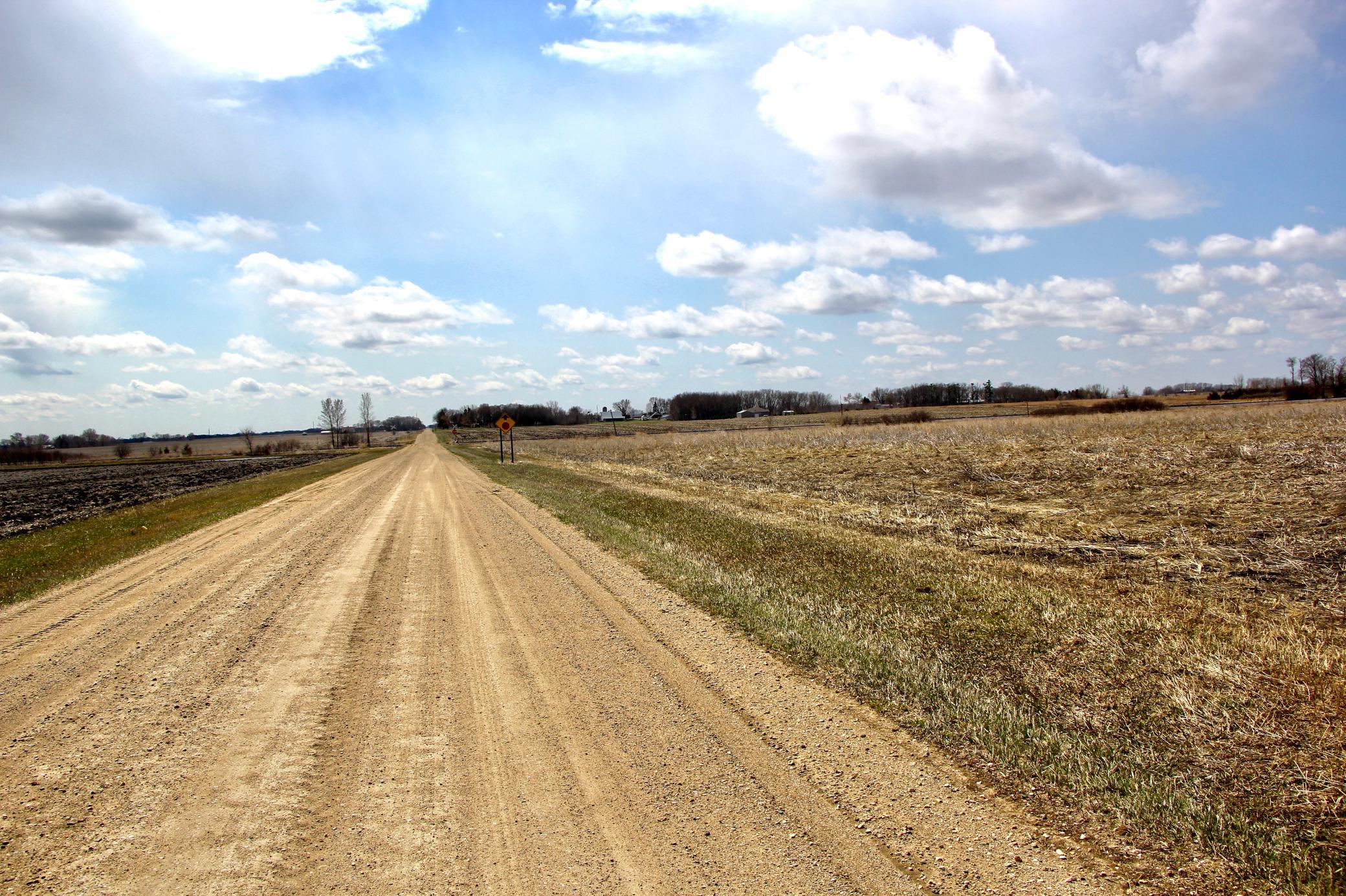
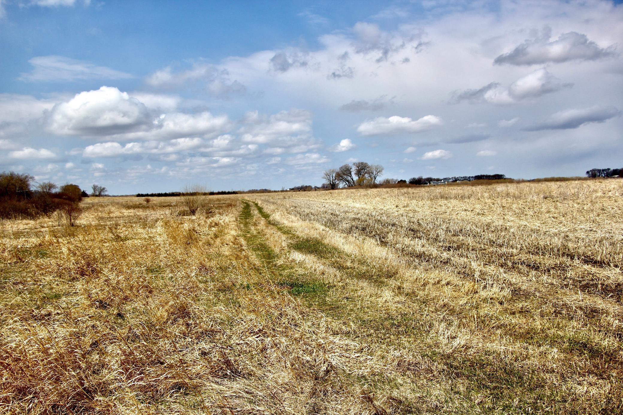
Topography:
Level
Contract Information
- Allow Auto Valuation Display?
- No
- Allow Consumer Comment
- No
- Auction Type
- Reserve
- Off Market Date
- 2023-06-22
- Contingency
- None
- Closed Date
- 2023-08-30
- Original List Price
- Yes
- Sales Close Price
- 273210
- ListPrice
- Yes
- Owner is an Agent?
- No
- Auction?
- Yes
Location Tax and Other Information
- House Number
- XXX
- Street Name
- 185th
- Street Suffix
- Avenue
- Postal City
- New Ulm
- County
- Brown
- State
- MN
- Zip Code
- 56073
Acreage Information
- Taxable Acres
- 39
Assessments
- Tax With Assessments
- 1704
- Assessment Balance
- 0
More Information
Builder Information
- Builder Restrictions
- Open
Lease Details
- Land Leased
- Not Applicable
Miscellaneous Information
- FIPS Code
- 27015
- Homestead
- No
Ownership
- Fractional Ownership
- No
Public Survey Info
- Range#
- 31
- Section#
- 15
- Township#
- 110
Office/Member Info
- Association
- MAAR
- MLSID
- RMLS
Location, Tax and Other Information
- AssocFeeYN
- No
- Map Page
- 999
- Municipality
- New Ulm
- Rental License?
- No
- School District
- New Ulm
- School District Phone
- 507-359-8401
- Map Coordinate Source
- King's Street Atlas
- Zip Plus 4
- 2318
- Property ID Number
- 19001500203250
- Tax Year
- 2022
- Tax Amount
- 1704
- In Foreclosure?
- No
- Potential Short Sale?
- No
- Lender Owned?
- No
- Auctioneer License
- 6422229
Directions & Remarks
- Public Remarks
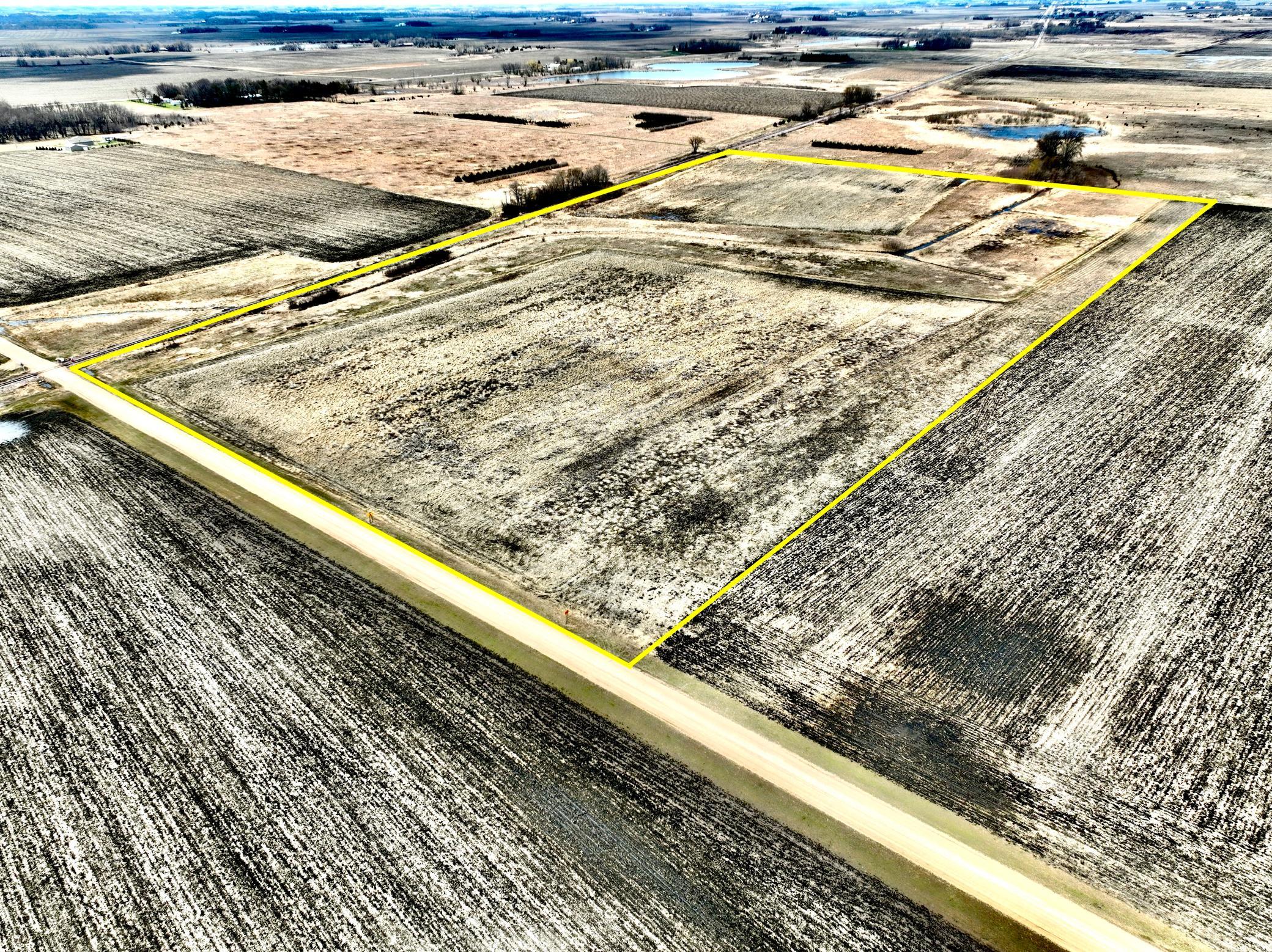
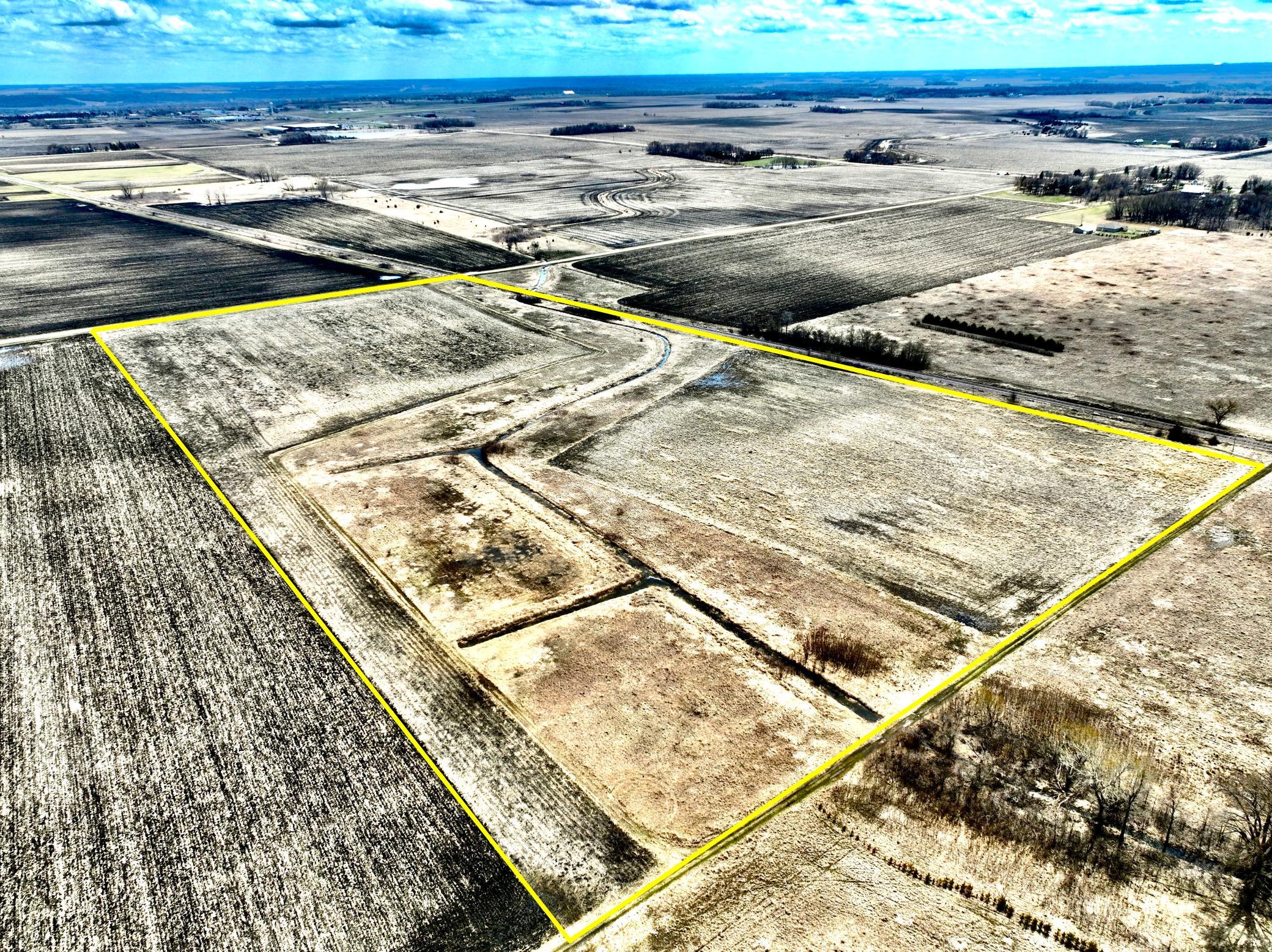
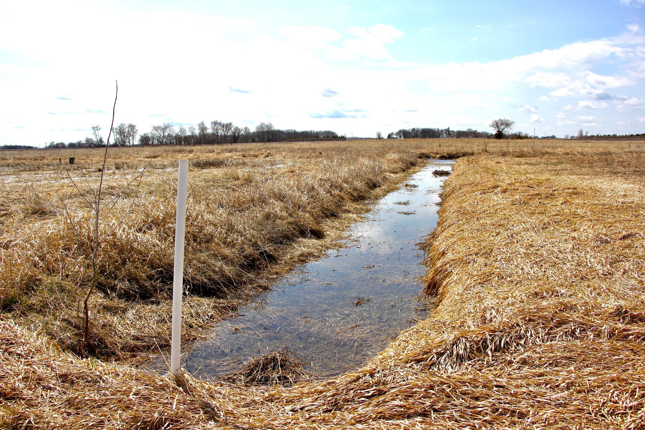
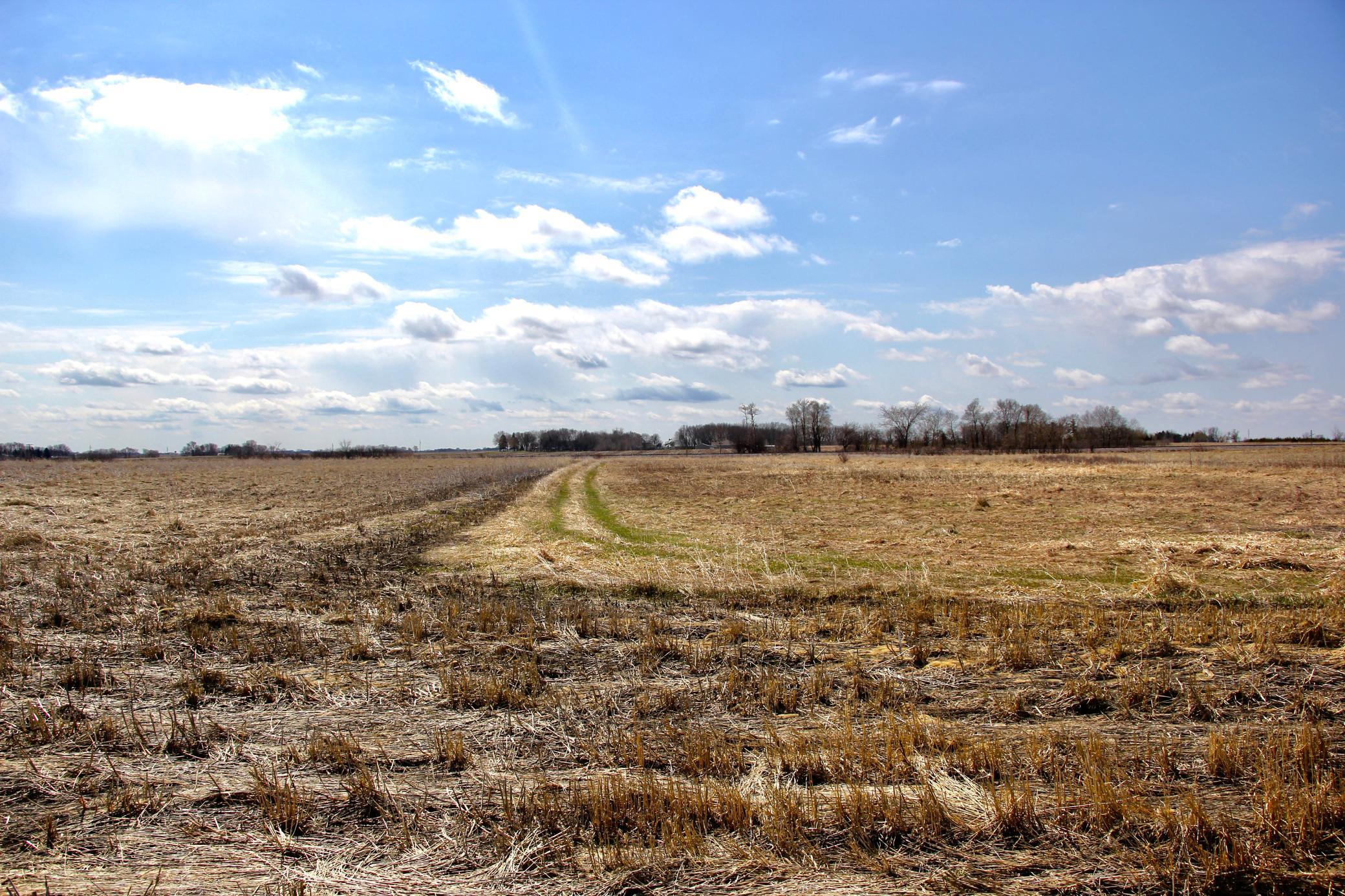
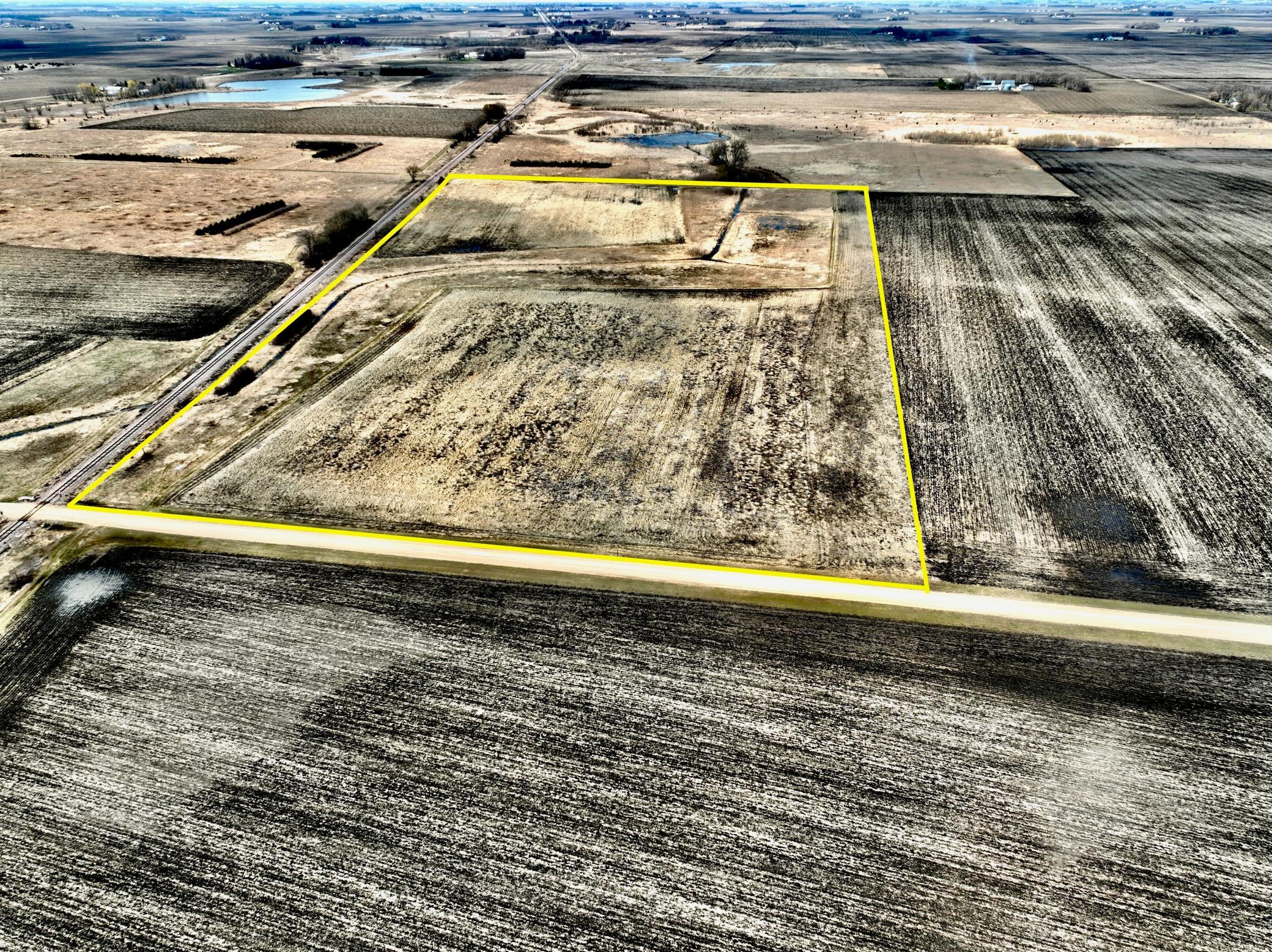
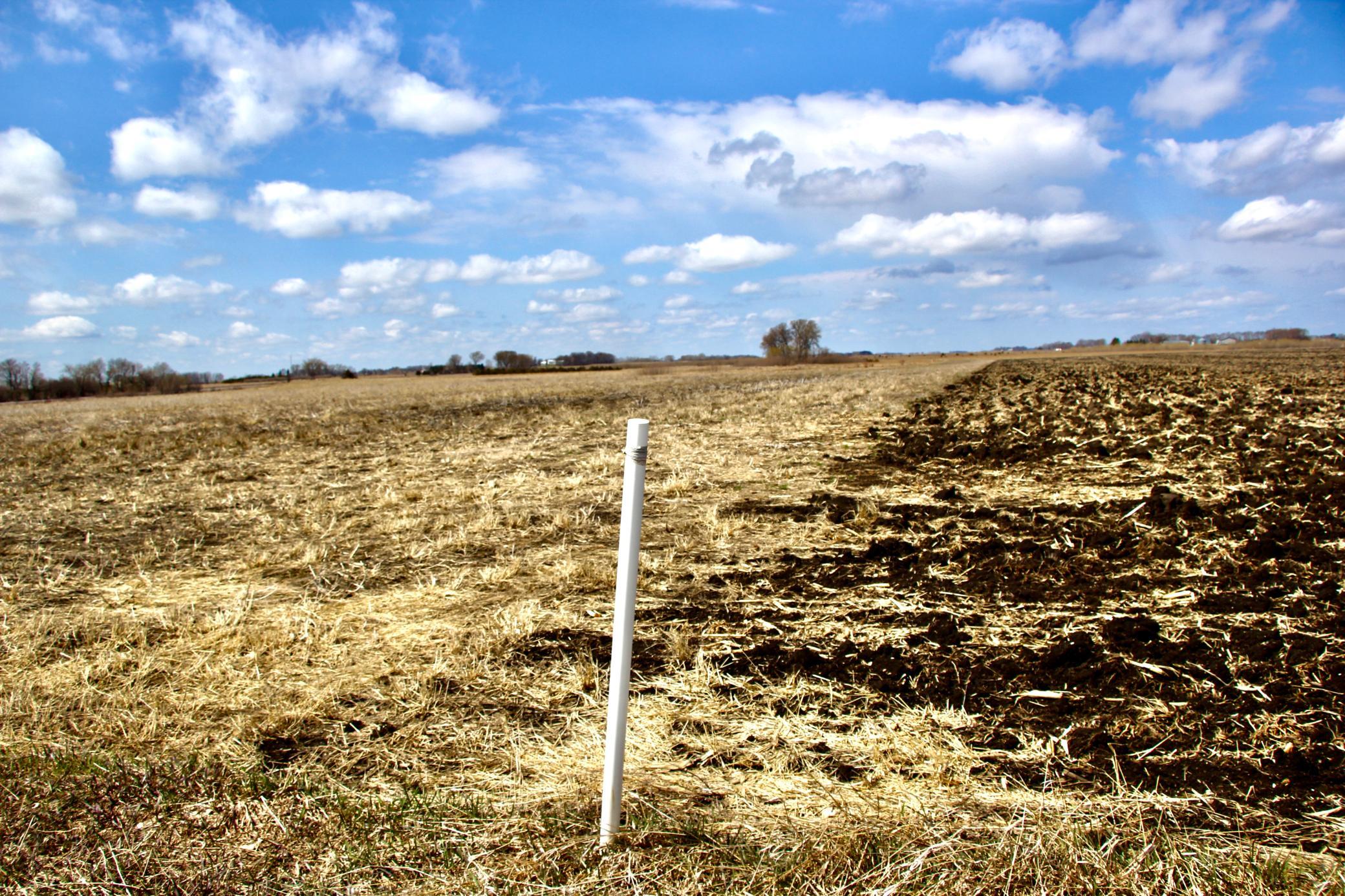
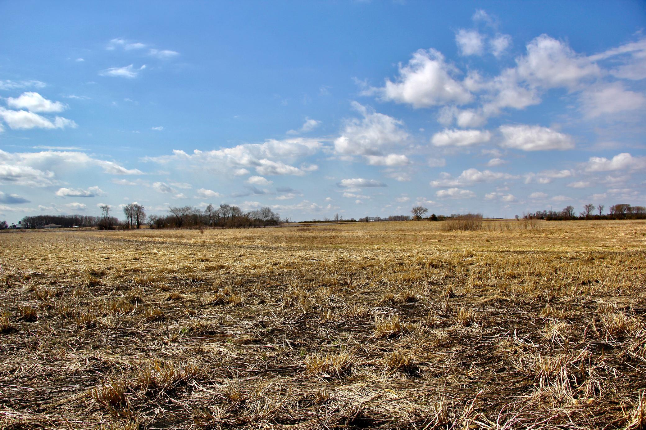
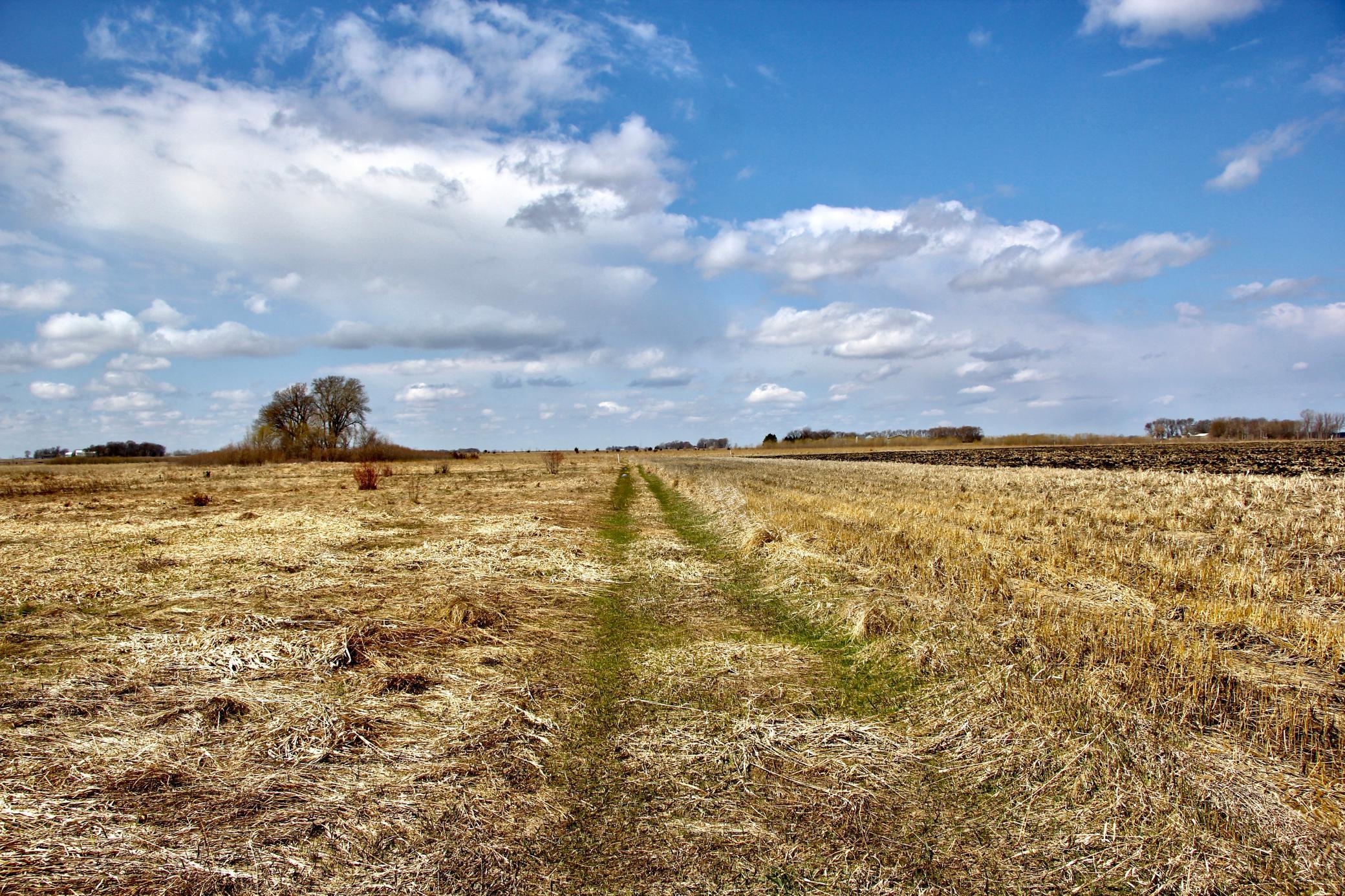
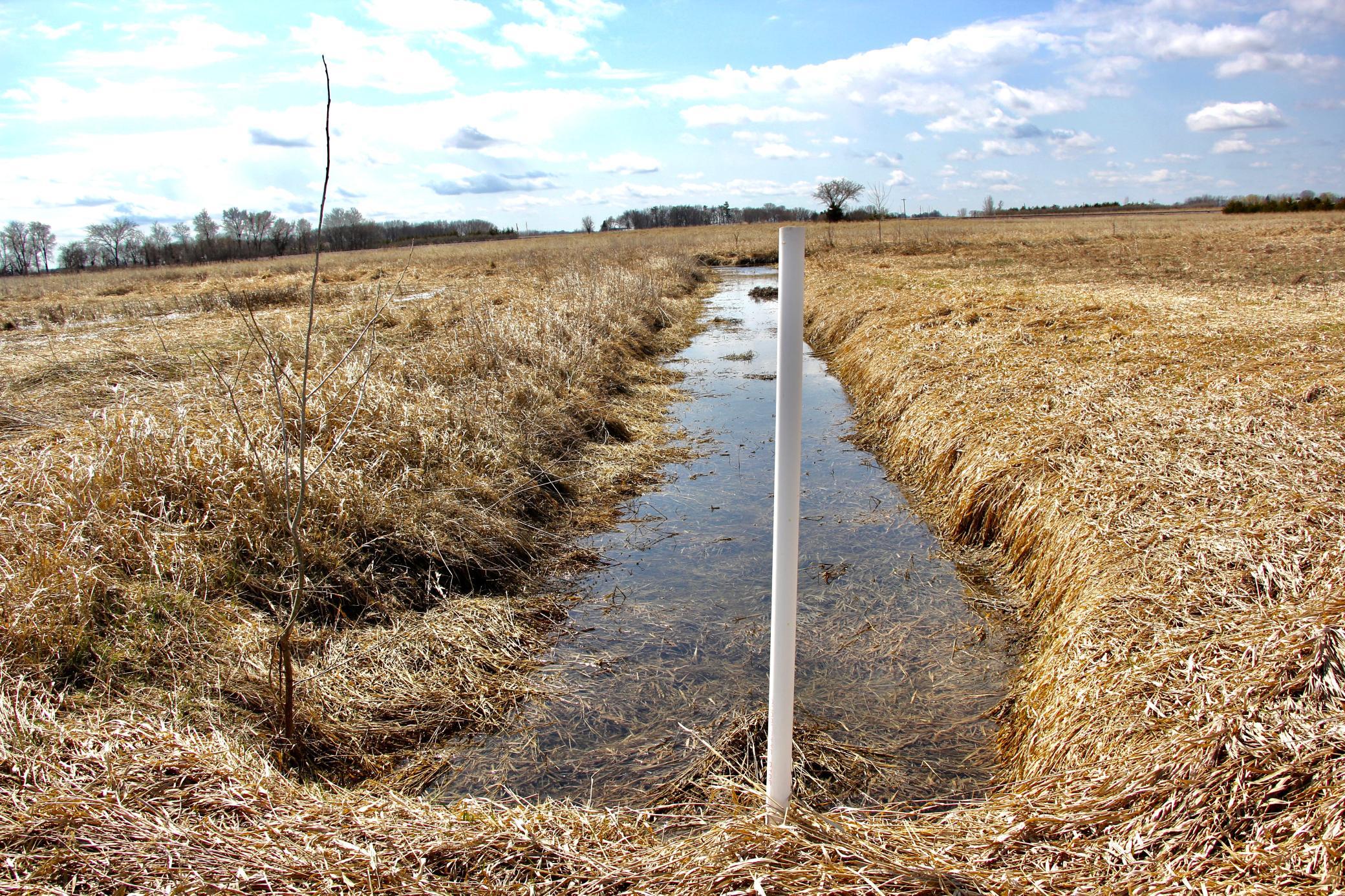
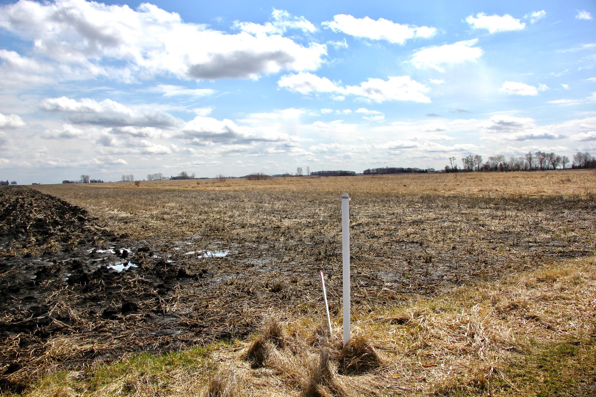
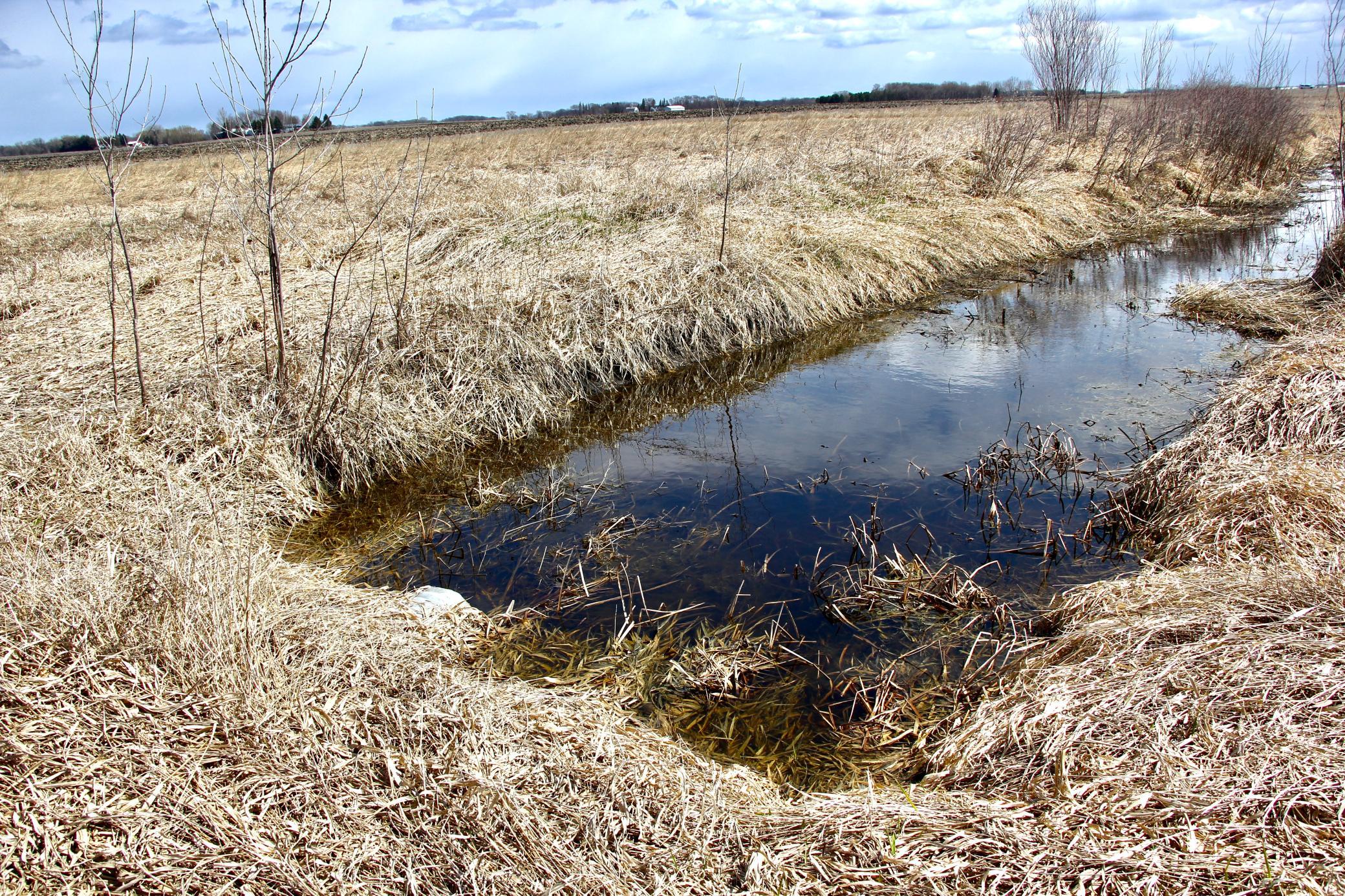
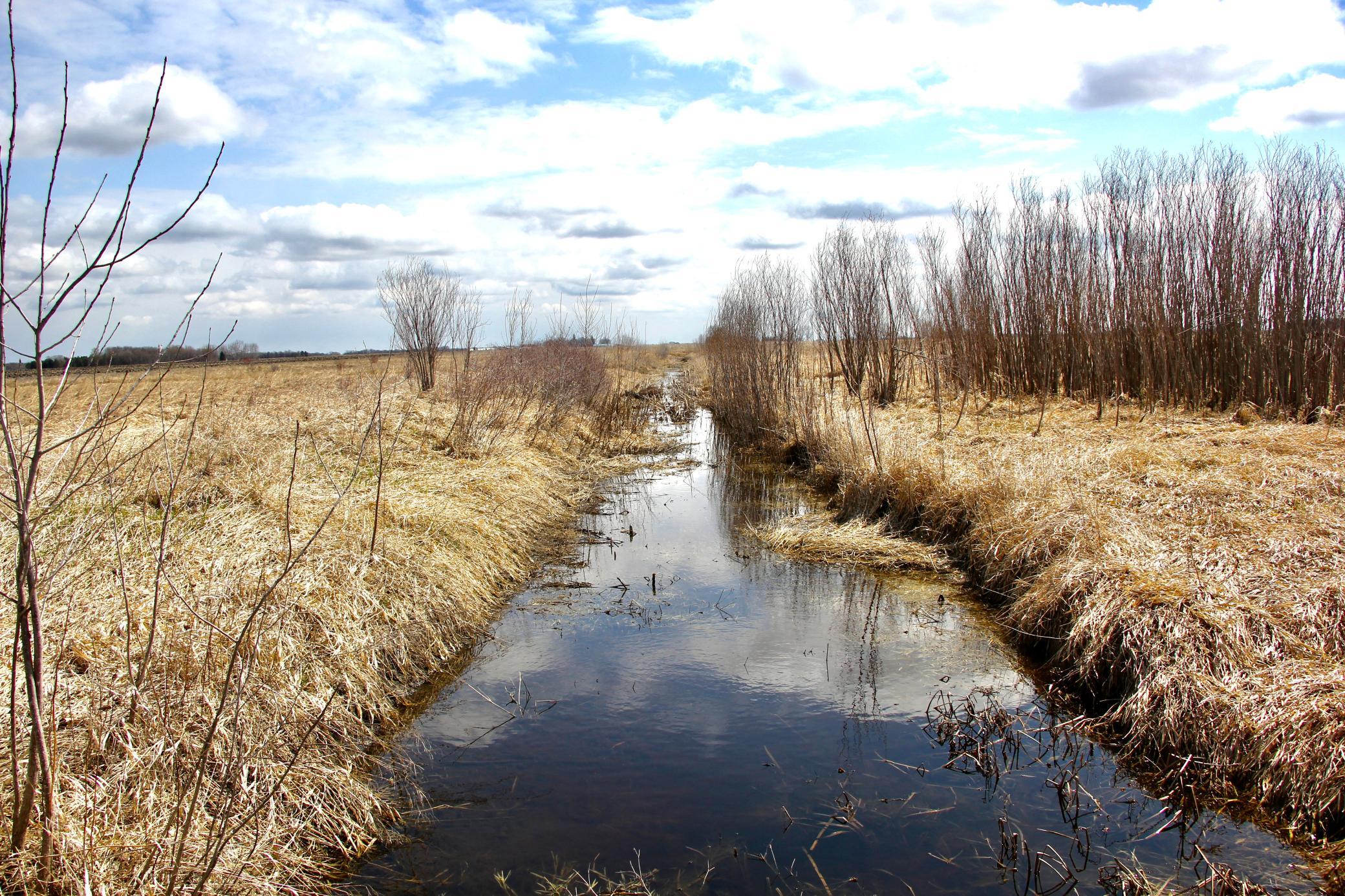
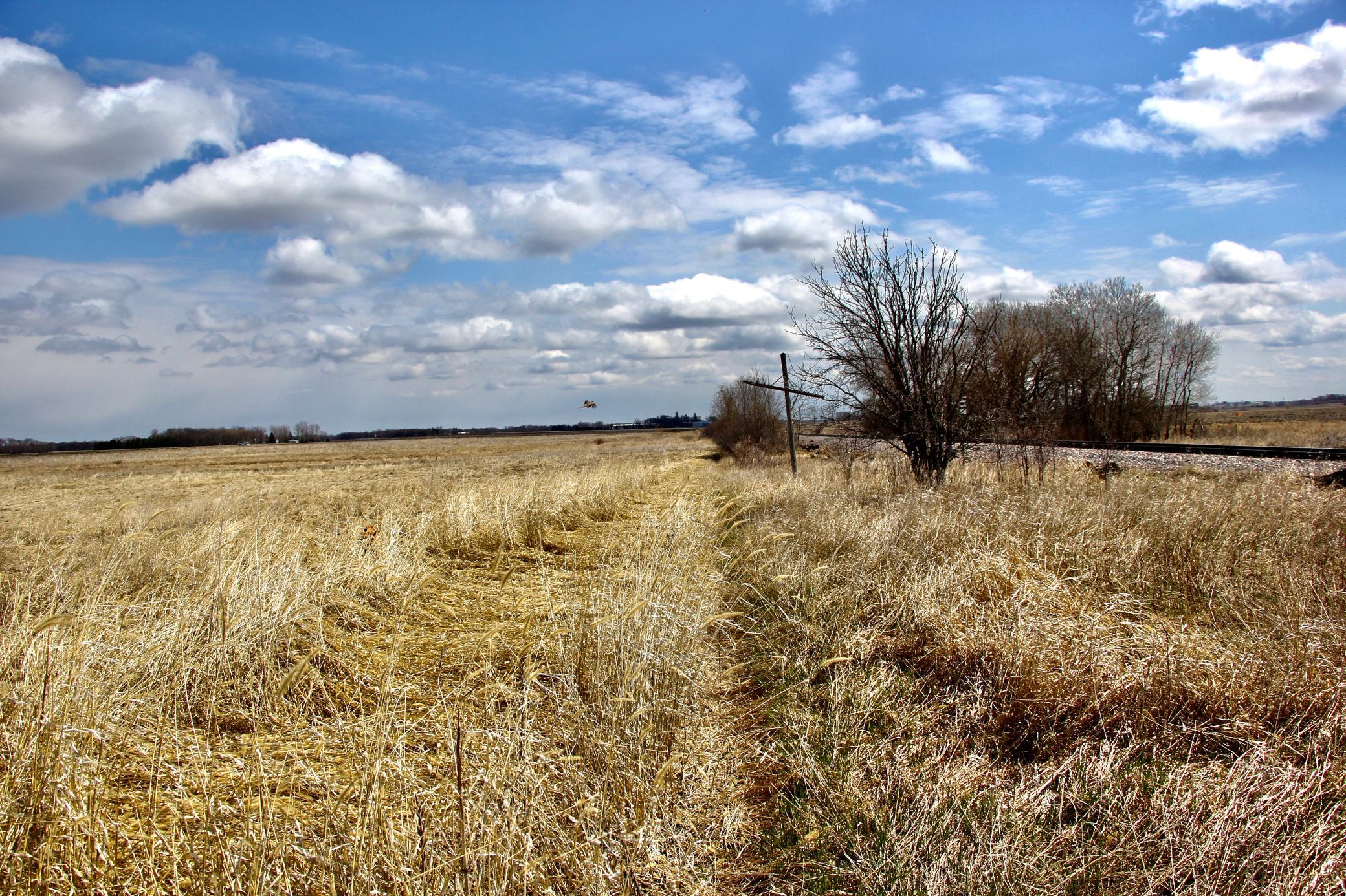
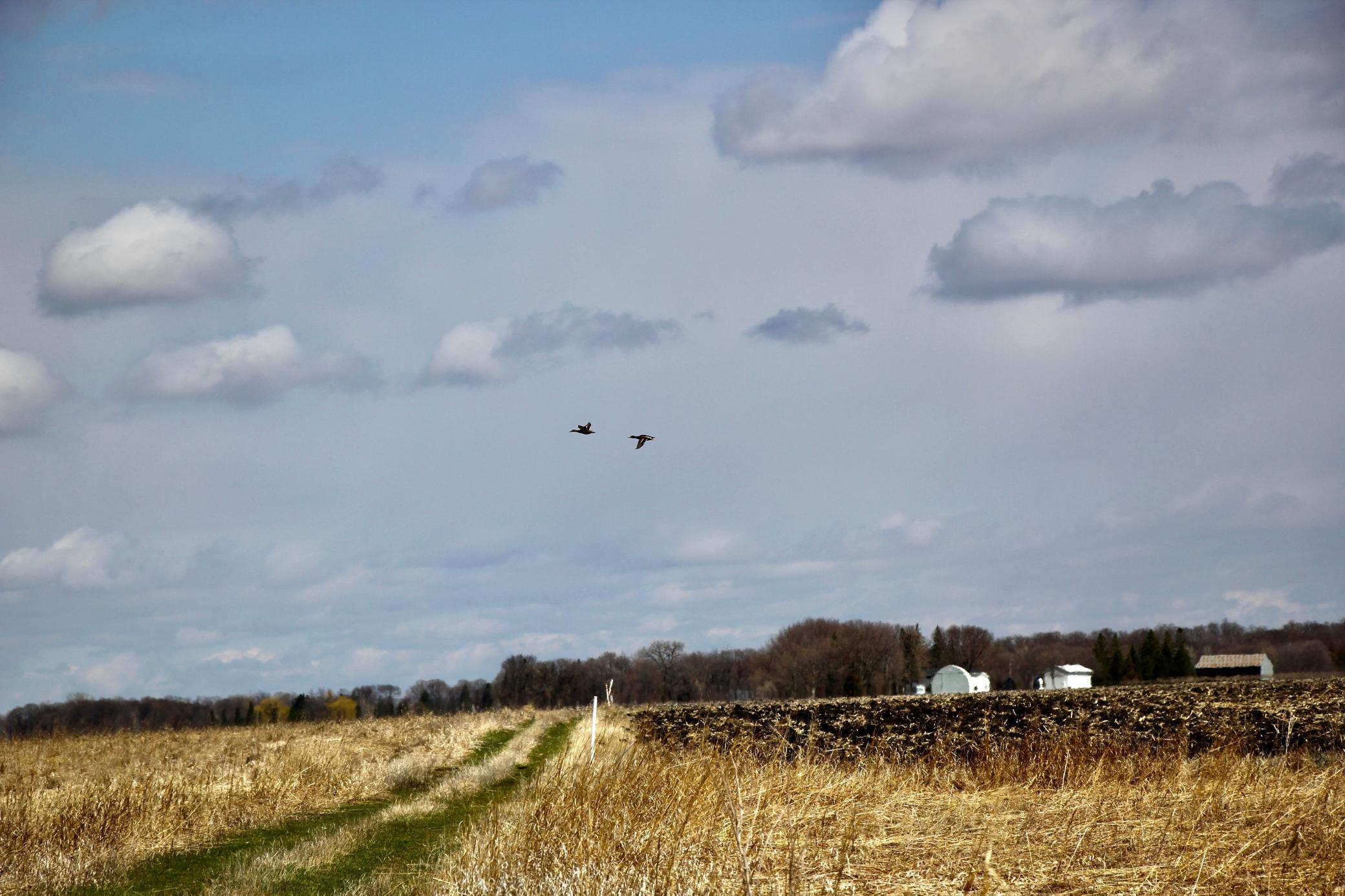
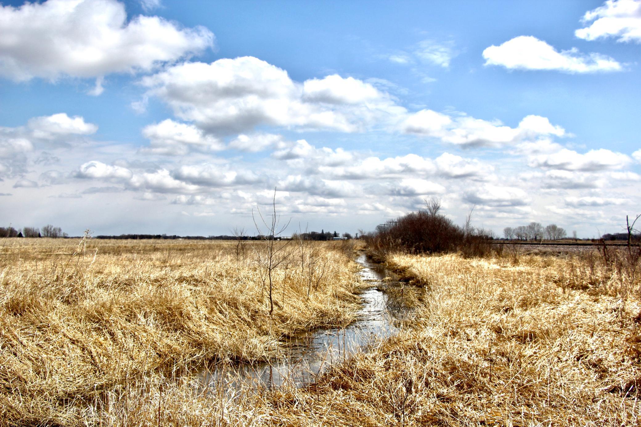
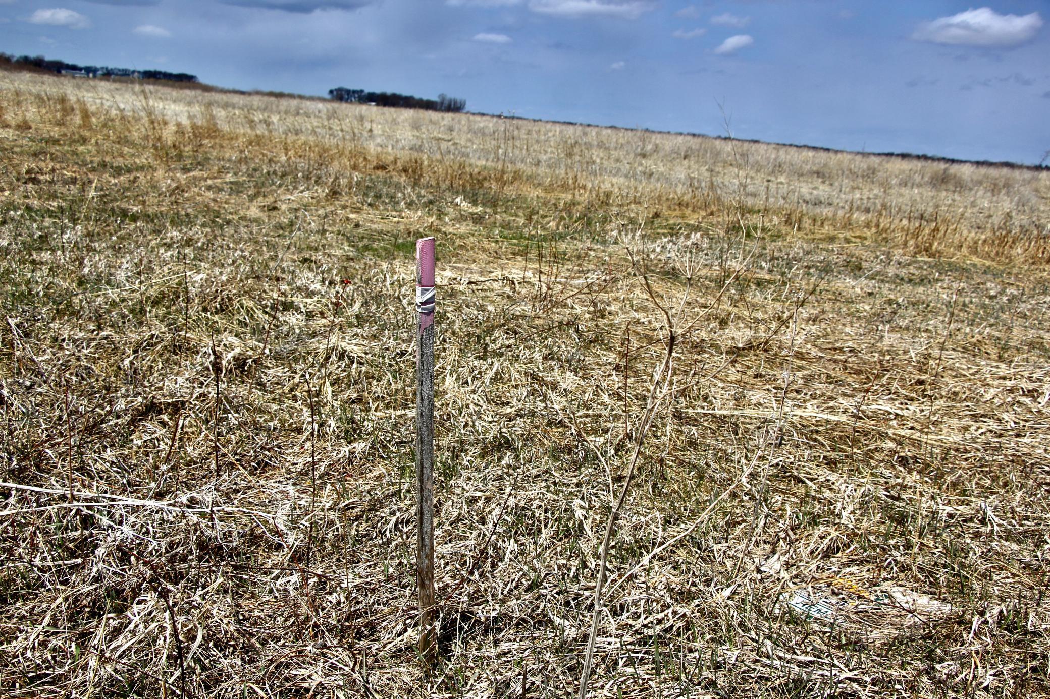
- This property is located in Section 15 of Milford Township - 2 miles west of New Ulm and ½ mile north on 185th Avenue. The property is 39.03 surveyed acres with 34.95 acres enrolled in the Conservation Reserve Program (CRP). The CRP acres are enrolled in two separate contracts. Contract #1 is in a CP21 program that was enrolled in 2016 and will expire in 2026. Contract #1 is comprised of 10.5 acres with an annual rental rate of $276.45 per acre or $2,903 per year. Contract #2 is in a CP23A program that was enrolled in 2021 and will expire in 2036. Contract #2 is comprised of 24.45 acres with a rental rate of $287.93 per acre or $7,040 per year. The 2023 CRP Payment and Real Estate Taxes will be prorated to the day of closing. Farmland: These CRP acres are extremely clean with almost no volunteer tree or woody vegetative growth. This will be a benefit to anyone looking to convert these acres from CRP back into production.
- Directions
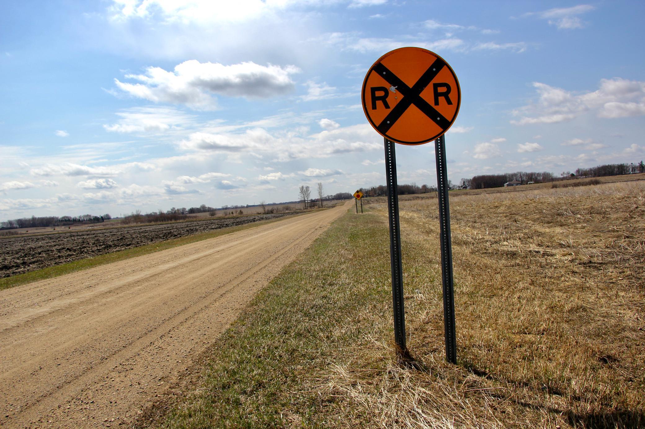
- This property is located in Section 15 of Milford Township - 2 miles west of New Ulm and ½ mile north on 185th Avenue.
Development Status
- Raw Land
- Yes
Insurance Fee
- Insurance Fee
- 0
Restriction/Covenants
- None
- Yes
Special Listing Conditions
- Auction
- Yes
Topography
- Level
- Yes
Available Utilities
- None Connected
- Yes
Improvements
- None
- Yes
Land Inclusions
- Survey
- Yes

Listing Office:
Whitetail Properties Real Estate
Last Updated: June - 03 - 2025
The data relating to real estate for sale on this web site comes in part from the Broker
Reciprocity SM Program of the Regional Multiple Listing Service of Minnesota, Inc. The information provided is deemed reliable but not guaranteed. Properties subject to prior sale, change or withdrawal.
©2024 Regional Multiple Listing Service of Minnesota, Inc All rights reserved.